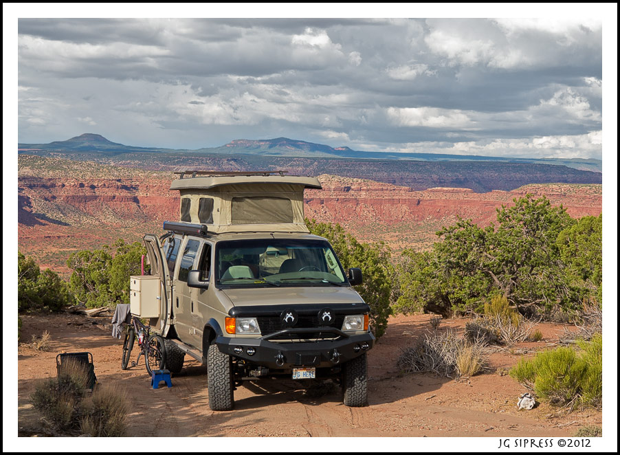
Thanks, everyone, for the kind comments. For those here who I've not met or don't know me, I am a serious photographer, although I still have my day job. That's the main reason I got the SMB. Most of the images here were made very close to my rig and campsite, as those are the locations I seek.
Joe, I am regularly monitoring the conditions in Flagstaff and the area up into Utah. Been a great monsoon season and I would be cautious to hike Buckskin Gulch or similar slots.
Bill, I made no pics of that road for two reasons. It required all my attention and skills to get through safely and could not be interrupted for photo ops. I was solo, and would not have made that choice had I known what the trail was to become. And, it was one of the sunniest, hottest, days with brutal lighting conditions which I don't shoot in. The road starts at the end of the 'scenic drive' road in Capital Reef Nat'l Park. It winds constantly along the milder sections past an old ranch and then climbs up to higher meadows and plateaus. It finally comes out near Lower Bowns Reservoir and gets you on RT. 12. You can see the route on some maps.
Viejo, NO HDR on any of my images. I don't like the effect. I preprocess RAW images thru Adobe Camera Raw, and then work in Photoshop CS5. Been using PS for 17 years. Most of these images were made with a Canon 1Ds Mark III and assorted Zeiss prime lenses. I did use a Canon 17mm ts-e lens for the one with the massive V shaped storm cloud, it is a three frame vertical panorama stitched in PS. A couple of these were made with my Canon G1X handheld.
Gnarvan, The van ran like a top! I was always listening and monitoring the temps and ScanGauge since it was the first major outing since the rebuild. All is well! Didn't do the Burr Trail this time (have before) but I did ride a section of the road to it out of Boulder on my mtn bike one morning.
If you like my work, more images are on
My Photo Site.


 The Delta Flyer


 Linear Mode