City of Rocks is a National Reserve in southeast Idaho near the Utah border. The California Trial, an off-shoot of the Oregon Trail, runs through the Reserve. City of Rocks became a temporary stopping spot along the trail because of the water and grasslands. Circle Creek and it's branches run through the Reserve.
Besides the history of the pioneers moving west, it's one of the best places for rock climbers. The literature I've read says some of the best granite formations in the U.S. are at City of Rocks. It's become a destination for climbers throughout the world. It has easy climbing routes and some of the most difficult. I know of at least one 5.13C route in the Reserve. I believe 5.13 is classified as the hardest routes. Not sure where the 'C' comes in. I'm assuming harder than an 'A' or 'B' route. I'm afraid of heights and falling so I keep my feet on the ground and leave the real climbing to others.
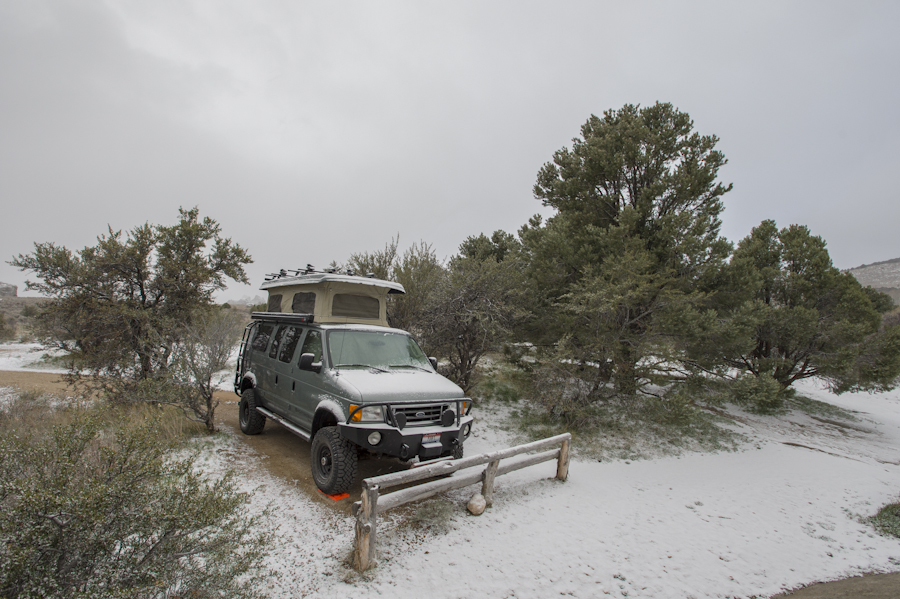
I headed down on Saturday after doing a few things around the house. In less than two hours I can be at the campground. There are 60+ campsites and it cost $12.72 per night to camp. I don't imagine most people hunt for the change so they probably do what I did and put $13 into the envelope. I'm sure the government is making an extra $.28 per night on most people. The weather on Saturday afternoon was actually warm. Shorts and shirtsleeve weather. Turned windy at night.
Be prepared for lots of pictures.
This is my camp site. Fairly secluded and right beneath a large rock formation.

Another shot of camp. You can see the location of the picnic table and fire pit.

Window Arch.

Some of the rock formations near camp.

Looking down on camp near the top of the rock formation. No, I didn't climb up the steep side. The back side has a nice, gentle slope.

Bath Rock is one of the larger rocks that sits opposite the main parking lot. There are a couple of bathrooms, park information and the fee box at the parking lot, including trailheads. The back side of Bath Rock is a popular climbing spot. You can walk the trail to the back side and watch the climbers up close.

I hiked up the road looking for a sunset picture. The rock formation on the left is Parking Lot Rock, in the middle is Morning Glory Spire and the large rock on the right is Anteater. The 5.13C route is on the Spire.

Last rays of light on the Parking Lot Rock formation. Not quite sunset.

The valley, looking east.

Bath Rock at sunset.

The wind blew all night. I took the top down just in case. I think it would have been ok, my camp was protected some from the wind, but better safe than sorry. Woke up the next morning to a dusting of snow.
Took a hike up the road to where I was the night before. This is nearly the same shot of Bath Rock that I took at sunset.

This one is called Window Rock. The window is near the top, center.

Twin Sisters is in the southern part of the Reserve. The weather started to clear up a bit over the southern sky. Didn't stay that way for long before more snow started to fall though.

Fat chipmunk near the Twin Sisters.

Twin Sisters range.

Treasure Rock. Really dwarfs the SMB.

Camp Rock has lots of signatures left by the pioneers who camped along the trail. They used axle grease to sign their names.

Looking west-northwest toward City of Rocks as I was leaving.

Circle Creek Overlook looking north toward Steinfells Dome and Granite Peak.

It was a short trip but well worth it. I hadn't been to City of Rocks for quite a few years. Now I want to go back.
Mike


 The YURT


 nv
nv
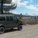
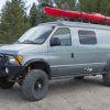
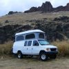 watchtower, white whale, land yacht, big pig...

 ), which looks like it isnt too terribly hard to find judging by the sites photos. any recommandations?

 Linear Mode