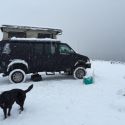
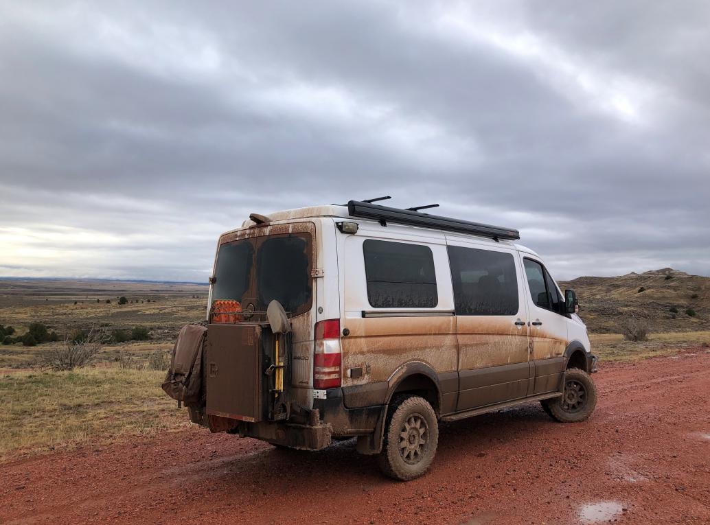
I guess I should fill you in on some of the details. Im traveling in our 16 Sportsmobile Sprinter. Its a low-top with a canvas pop-top. Its on KO2s and its 4wd with low range but no lockers. The suspension has been upgraded, with a front swaybar disconnect, its lifted, fully skidplated with rocker guards (thanks VanCompass), and has a 12k winch & bumper (thanks Roambuilt). I carry a hi-lift (just in case), maxttrax (4), and an electric chainsaw (again, Just in case). We also have an onboard air compressor (more on that later).
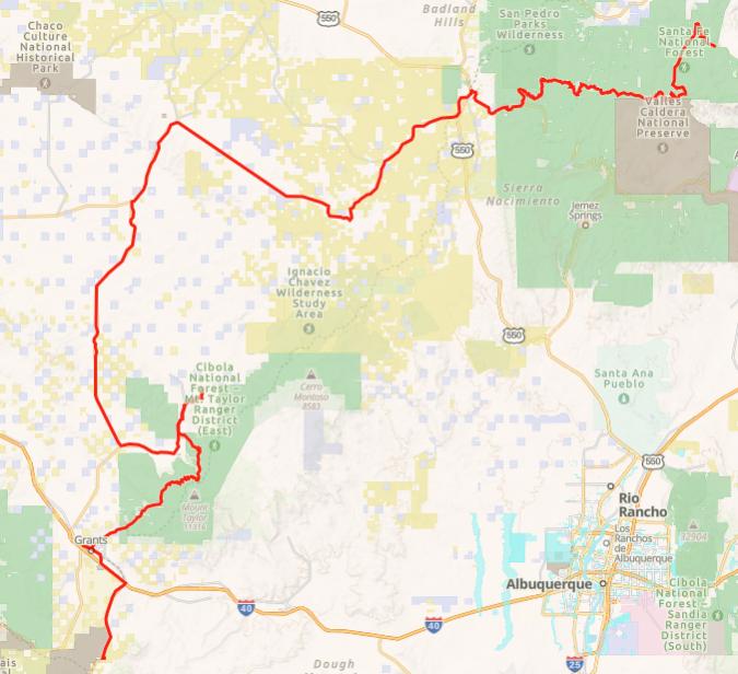
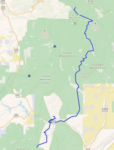
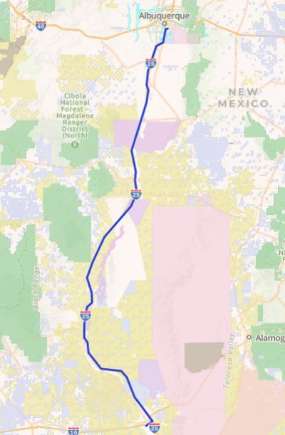
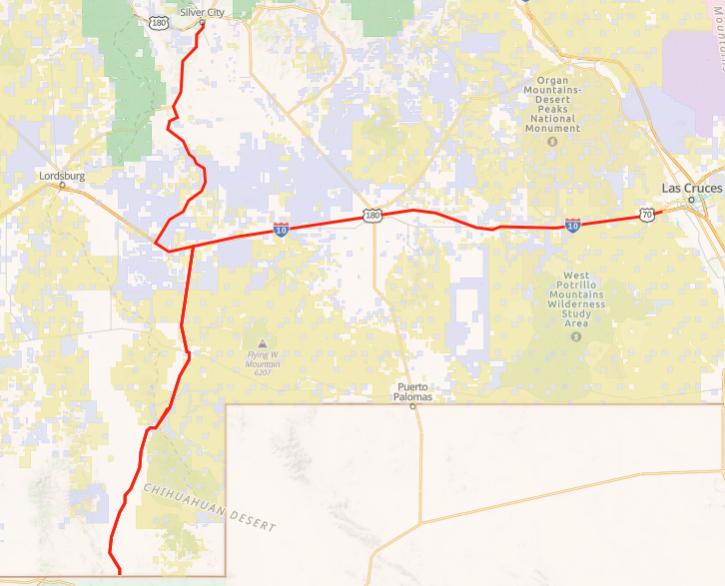
Day 3 Silver City, NM to El Malpais National Monument 270 miles
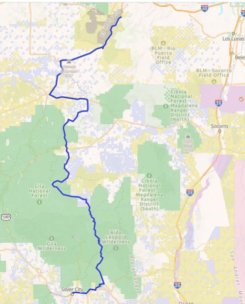
This day covered a good part of NM, through the Gila National Forest to the flat dry (usually) ranch lands south of Grants, NM. I headed east out of Silver City, past the ginormous Santa Rita copper mine and into the San Lorenzo valley.
There used to be a town where the mine is now. Santa Rita de Cobre was established at the beginning of the 19th century. In the early 20th century, the underground copper mines played out and the operations were converted to an open pit mine. The mine soon became the largest open pit copper mine in the world! By the 1950s, Kennecott owned both the mine and the town, and with the pit completely surrounding the town, the entire town was sacrificed to the mining operation, which is now about 1 ¾ miles across and over 1,300 feet deep.
Then north a ways up the valley, and then northeast on dirt into the Gila National Forest.
If I had continued up the San Lorenzo valley Id get to the Gila Cliff Dwellings National Monument. There was a big wildfire, the Johnson fire, burning just west of the cliff dwellings and the monument was partially closed, so I didnt detour over there. It was cloudy and drizzly all day, and with the cloud cover and winds out of the east, I didnt even see any smoke from the fire. Did see a group of javelina, but they split before I could get any pics.
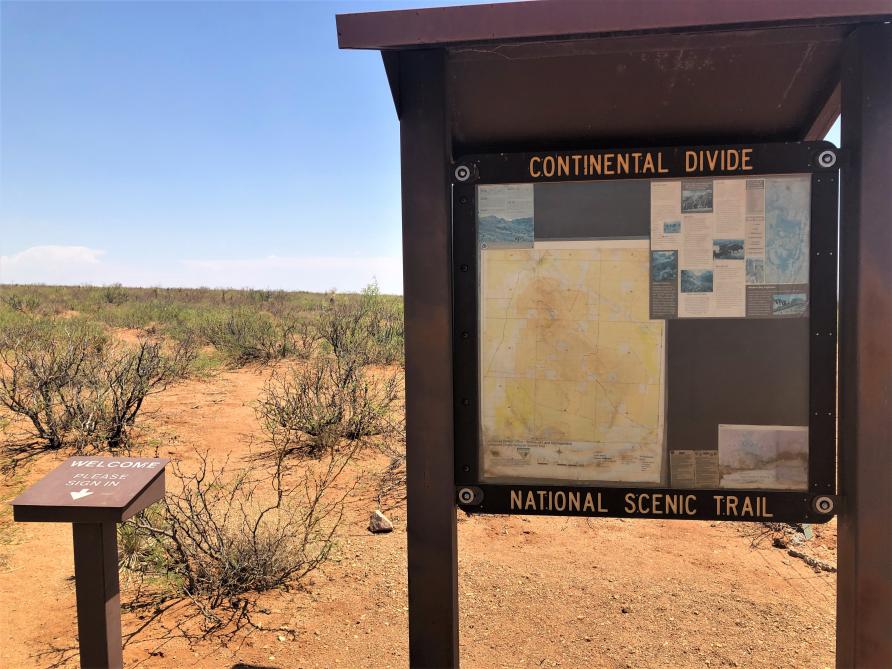
North of where the route crosses NM 12, I saw one, and then another, mountain biker going the opposite direction, with their serious faces on. Shortly after there was another rider stopped on the side of the trail. Robert Bigelow-Rubin from Chicago was in, he guessed, about 7th place in the 2021 Tour Divide, a self-supported mountain bike race from the Canada border to the Mexico border down the Continental Divide. He said New Mexico was the hardest section of the whole race, because of the terrain, mud, and, especially, the long distances between re-supplies. With that, he gladly took a big cured salami from me, and in exchange gave me a sticker from the messenger company he works for. The race leader, he informed me, had already finished, in under 15 days! Robert, it turns out, ended up sixth, in under 19 days.
Mid-afternoon I reached Pie Town, NM, a favorite stop for CDT hikers. There is a hostel there known as the Toaster House where hikers can stay, at no charge. The owner, Nita, no longer lives at the house, but uses donations (and Im sure her own funds) to maintain the property and stock the fridge. How nice is that?
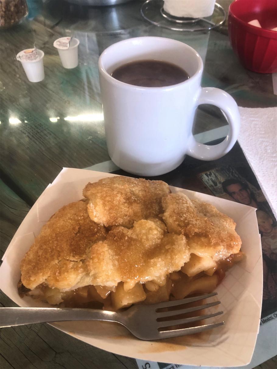
Got some green chile apple pie at Pie Town Pies, even though the sign on the door said they had run out of pies!
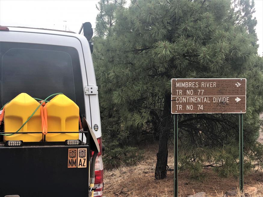
From Pie Town to El Malpais National Monument , the route follows York Ranch Road, a dirt road which turns to a muddy quagmire when it rains. Robert had told me that it took them over a day just to traverse this 30 mile long section through the mud on their bikes. Luckily, one of the ranchers saw them out there and let them stay at his ranch house overnight. After advice from one of the ladies at the pie shop that not even locals were venturing out there unless absolutely necessary, I tucked tail and took a paved detour through Quemado, NM to El Malpais. I camped at Joe Skeen campground just south of the monument and it rained off and on all night.
Day 4 El Malpais National Monument to Abiquiu, NM 250 miles
The day started out drizzly with forecasts for the rain to stop by 8:00 AM. Of course, it didnt stop until late afternoon.
I headed to Grants and bought some snack (Hostess cupcakes, cheese sticks, salamis) to hand out to the mountain bike racers. I learned in my years of racing road bikes that nothing says way to go like a Hostess cupcake! (best racer response: H*LL YES I want a cupcake!)
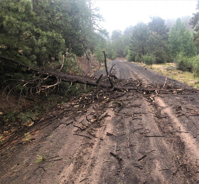
I started up Mount Taylor on NM 547, which quickly turns to dirt (mud). Coming around a bend, I almost ran into a downed tree, and thought great, a chance to use the new chainsaw! Further inspection though showed that the tree had broken when it fell, and with only a quick cut with the Sven Saw it could be dragged out of the way. Bummer. The chain saw never did get used on this trip, but I was glad to have it and figure its kinda like having a winch
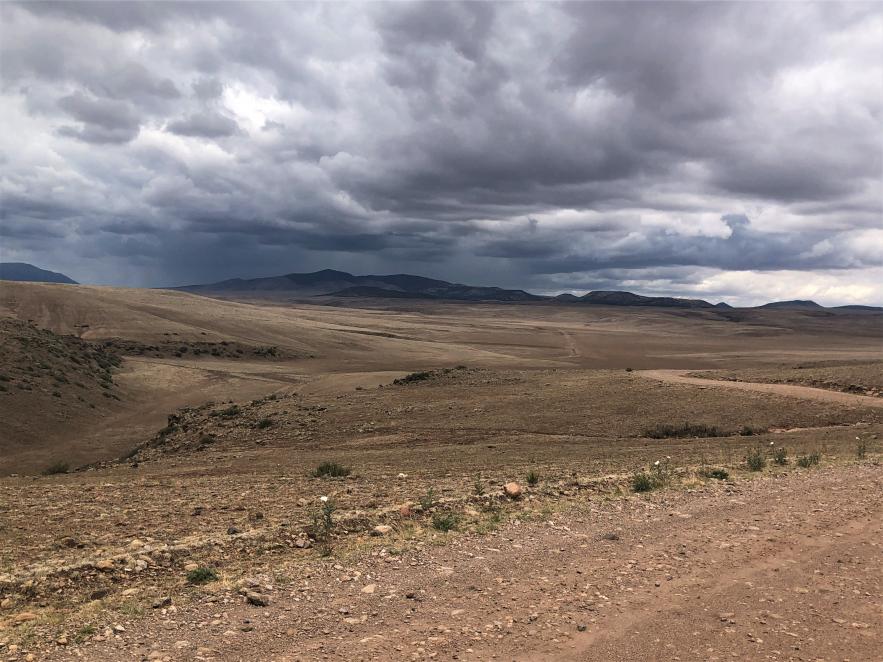
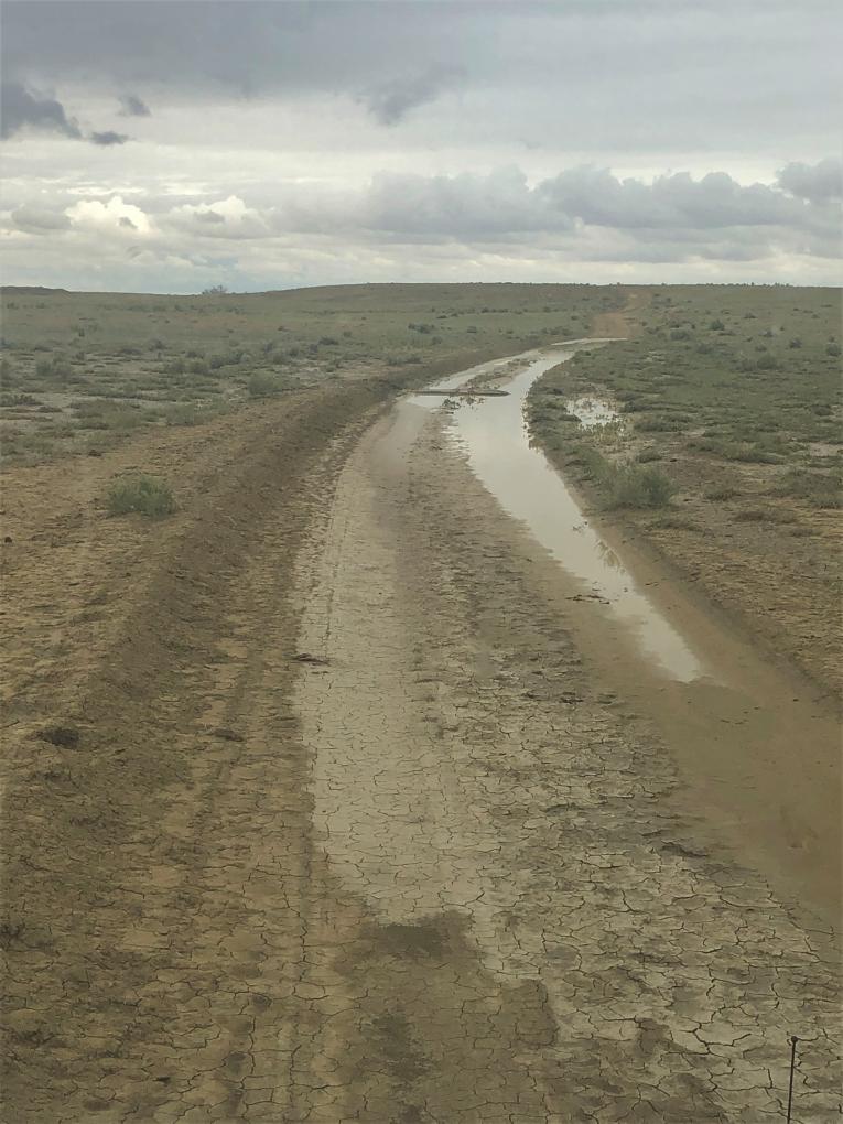
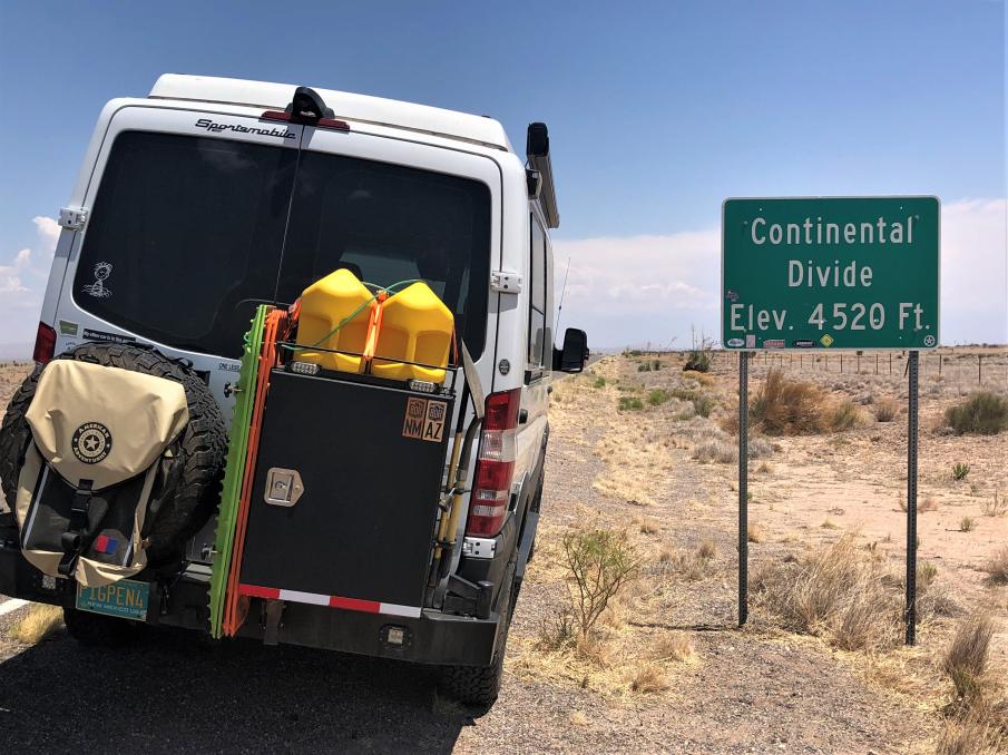
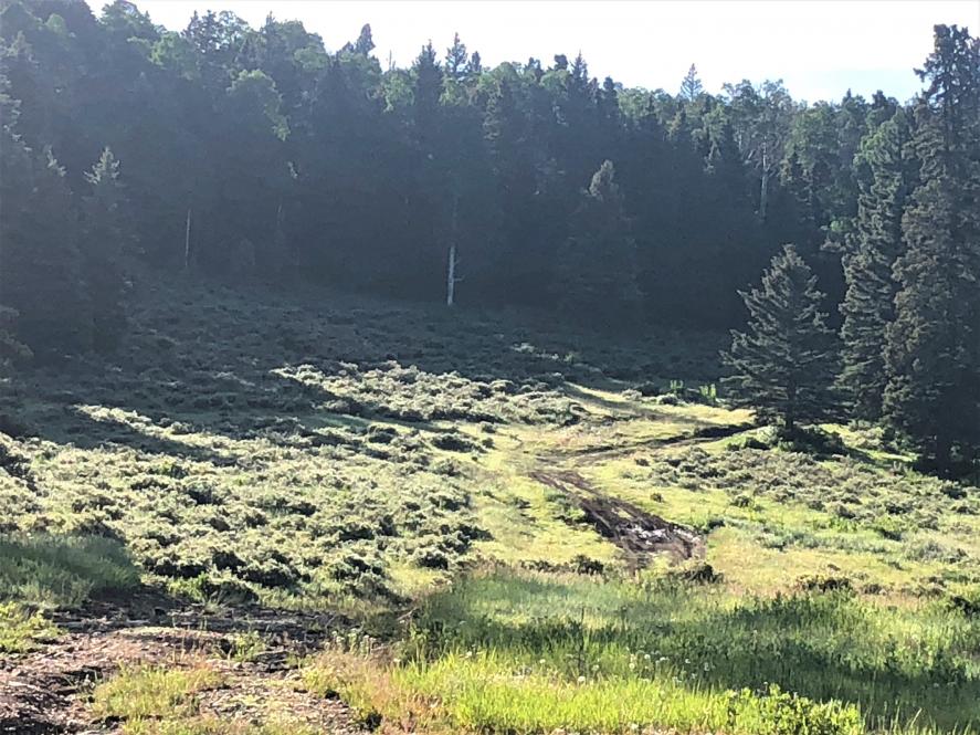
Once off Mt. Taylor, the route turns northeast and goes across a good bit of dry (usually) range land, a mix of private, public, and Native American land. I had driven almost the identical route on the NM BDR last year and dreaded what kind of mud I would encounter. Not far into this section, I came across a long flooded section and got out to scout the situation. The water in the tire tracks was not deep, maybe 10-12 inches, but a 3 foot long stick sunk all the way into the mud beneath. With no way around, caution reigned and I turned around and detoured on pavement through Pueblo Pintado and Torreon to Cuba, NM.

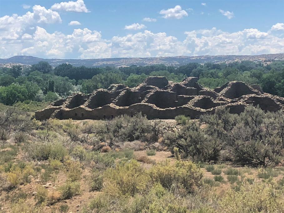
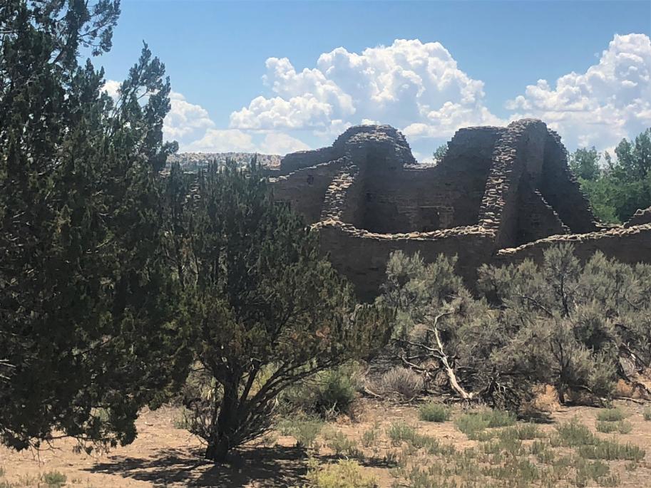
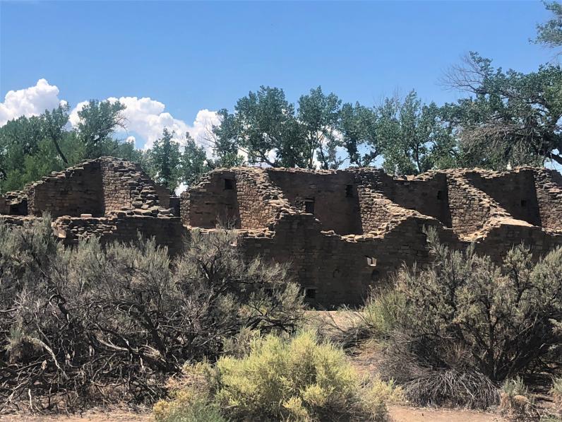
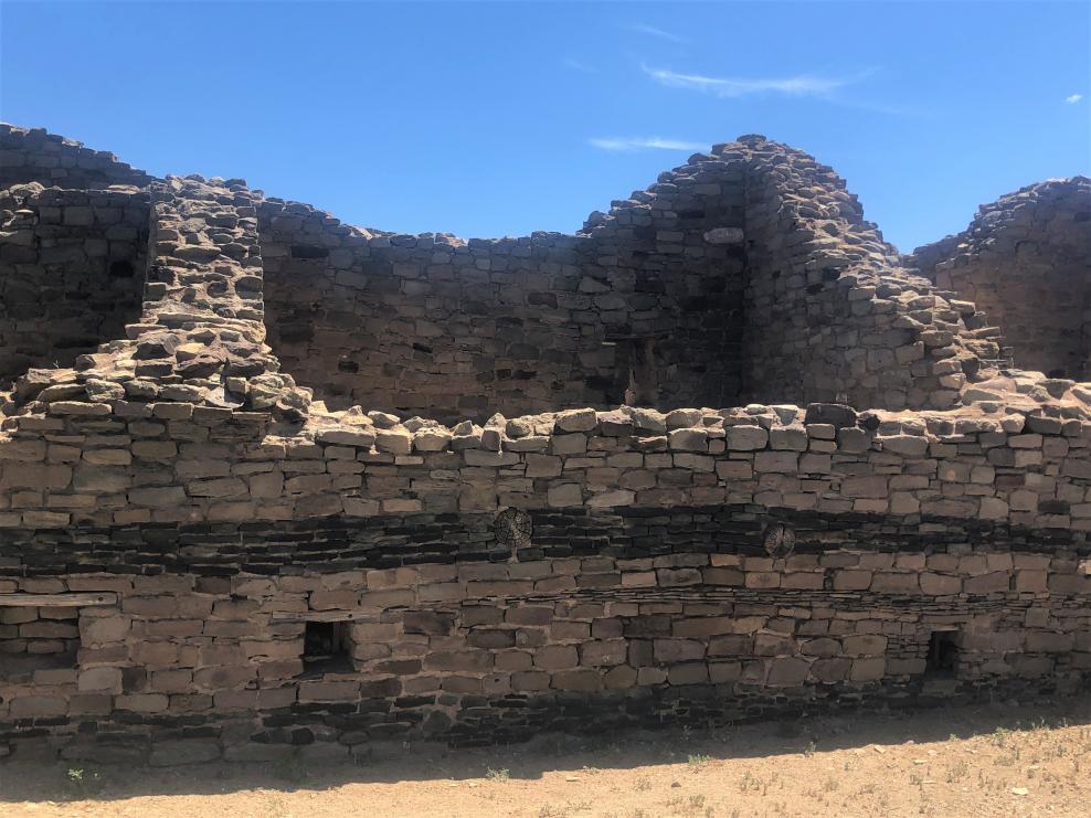
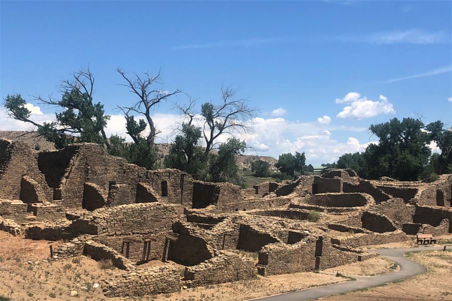
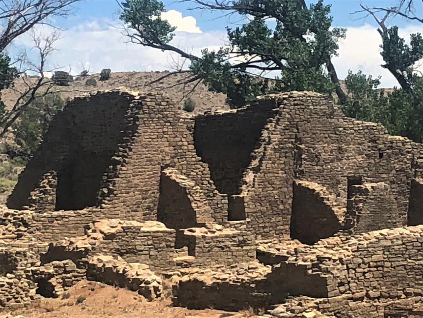
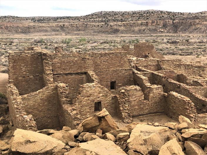
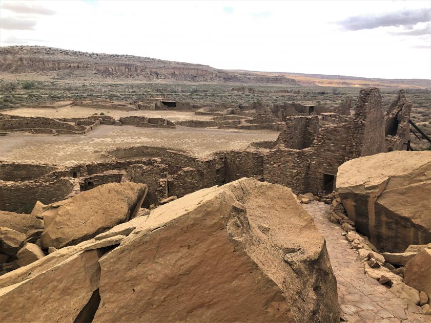
I had wanted to visit Guadalupe Ruins, about 30 miles ENE of where I turned around, but that will have to wait until another time. Guadalupe Ruins are the remains of the easternmost Chacoan settlement, which consisted of at least 39 rooms and 7 semi-underground kivas. It is thought to have been built sometime between 900-1100 AD during the establishment of a trade route between the Chacoan hub in the San Juan Basin and the pueblos on the Rio Grande. There is evidence that it was abandoned by the Chacoans and then reoccupied by the Mesa Verde peoples in the late 1200s. It appears they remodeled much of the settlement and built a new kiva at the site in their own style.
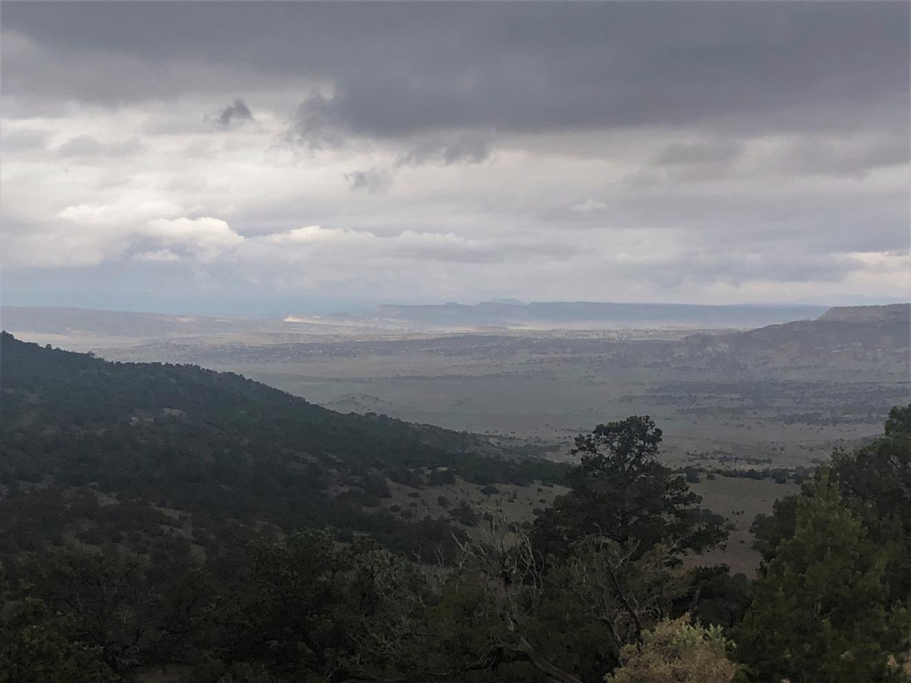
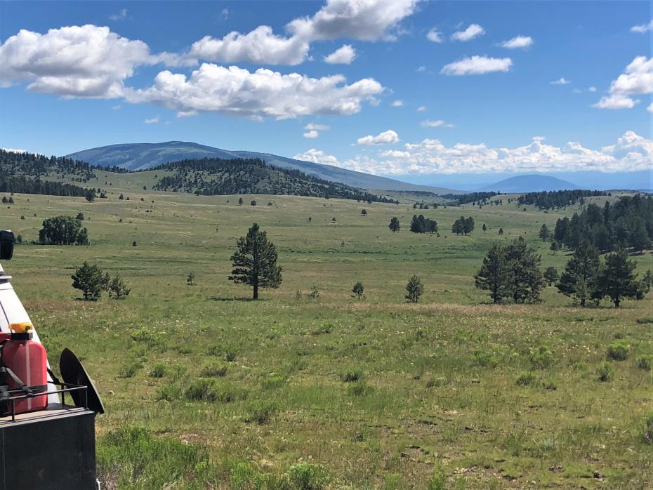
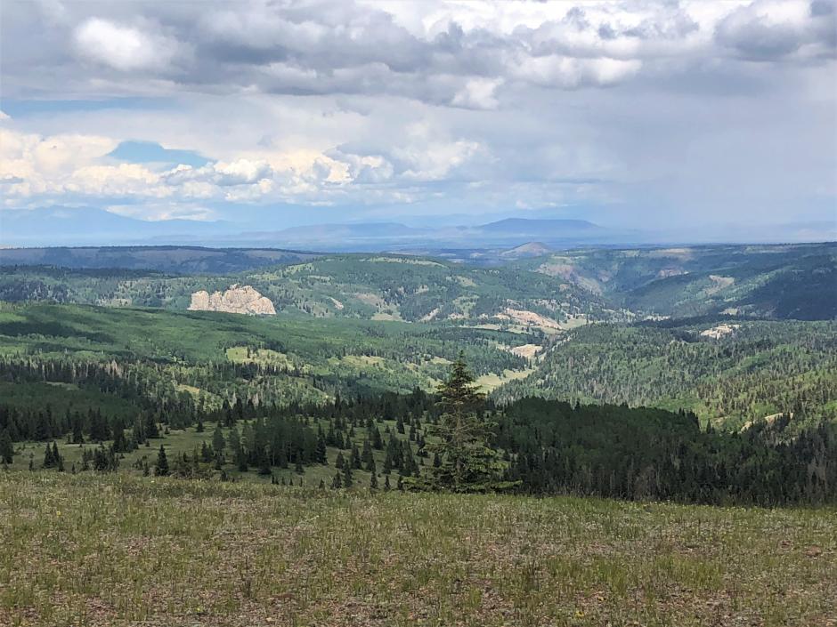
From Cuba, the route turns east into the Jemez Mountains. Just outside the northern boundary of the Valles Caldera National Preserve , Forest Road 315 and then 144 were the most difficult thus far, rutted and steep in places, and then miles of imbedded bedrock blocks that made for very slow going albeit through some amazing scenery. Then the road eases and drops off the top and into a nice valley that leads to Abiquiu, NM (former home to artist Georgia OKeeffe).
https://youtu.be/RY1f4iJW7-Q
https://youtu.be/6GOmtgkBWIQ
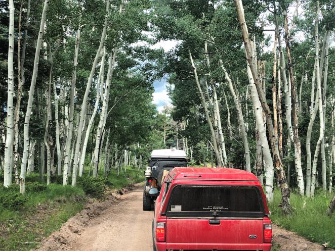
Just short of Abiquiu, I spied a group of vehicles camped by a small corral. It was group from Expedition Portal doing the CDR, who had started the week before me. I had conversed with one member, Greg, about possibly meeting up somewhere along the route, but didnt think it would be so soon. I also knew Joe and Sherry from a Bill Burke offroad class we took together a few years ago at Anza Borrego. Everyone made me feel so welcome (once they were sure I wasnt there to chase them off their camping spot) that I decided to finish up the NM leg of my trip with them.
Day 5 Abiquiu, NM to Hopewell Ridge, NM 75 miles
Today started out in a very relaxed fashion, with a trip to Bode's Store in Abiquiu to fuel up and wait for another member of the group who was joining us there. Bodes is the place in the area to get groceries, green chile cheeseburgers, fuel, camping supplies, gourmet foods, and farm supplies.
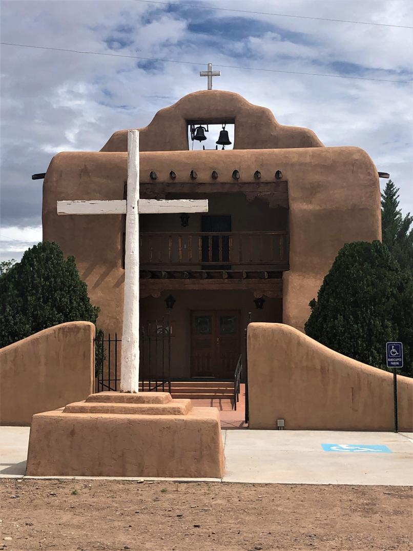
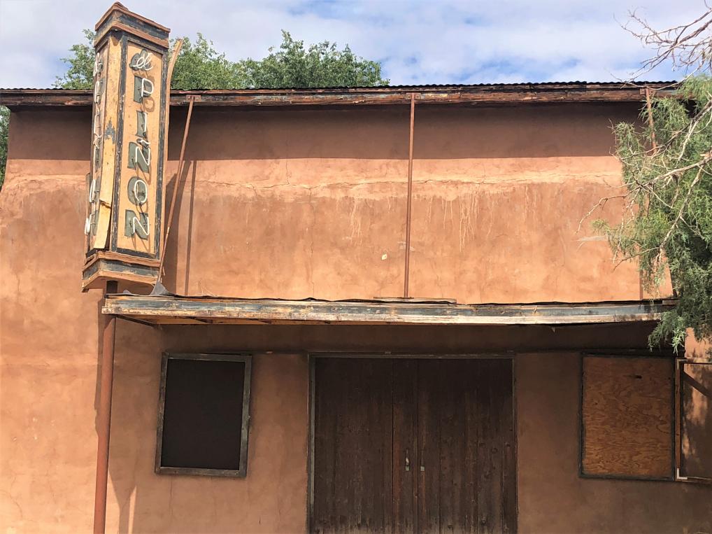
We then visited the old church plaza at Santo Tomas el Apostol church, with the old El Piñon Theater right next door. The church was built in 1773 but burned down in 1867. It was rebuilt, and in 1935 was replaced with the current church.
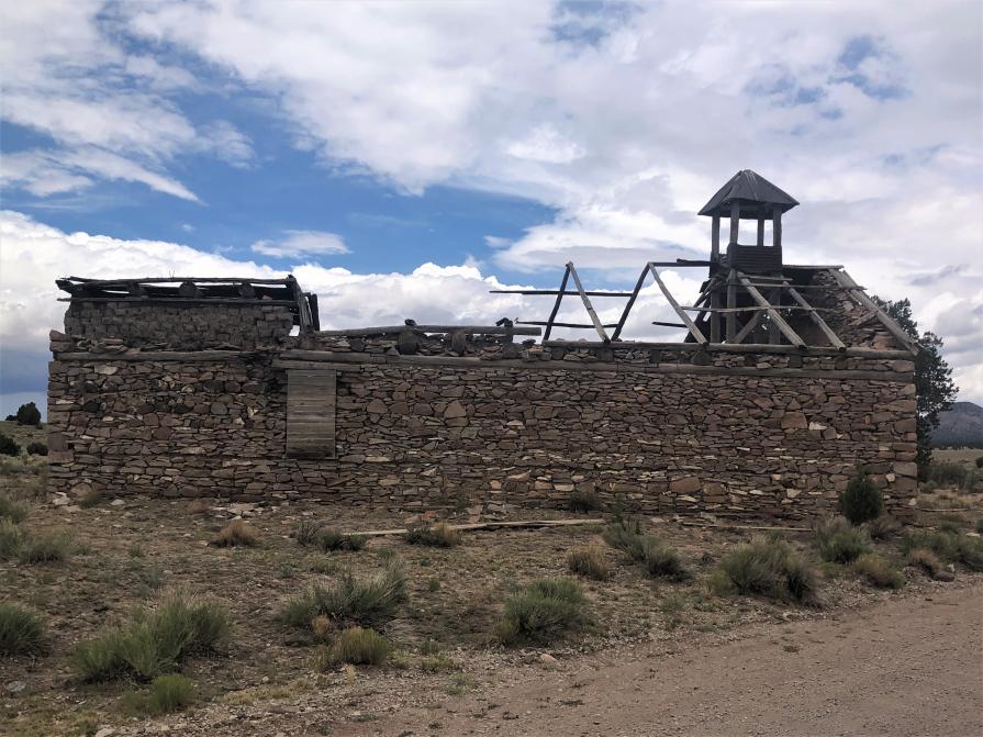
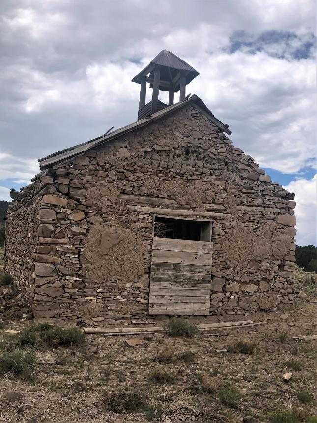
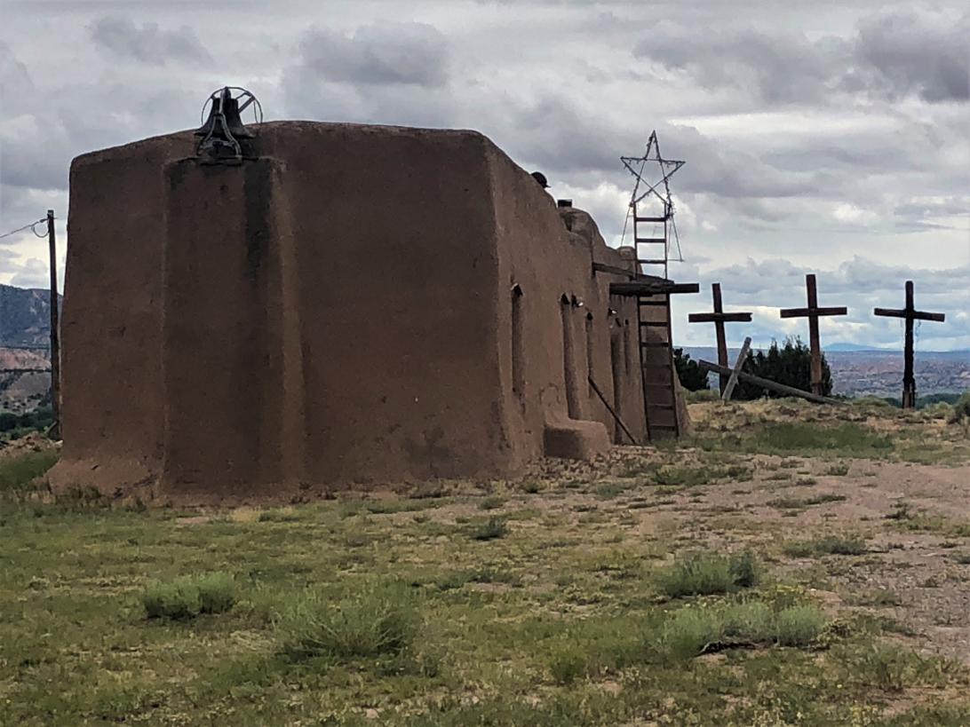
Then off the visit the Penitente Morada south of the plaza. Many small communities were served by traveling priests who might only visit the village once a year. The Penitentes evolved as a secretive society of resident Catholic Church men who historically dedicated themselves to community service and provided religious services when a priest was not available. They practiced, and still do today in many northern New Mexico villages, in the spirit of penance and the Passion of Christ. The Morada in Abiquiu was originally built in the 1700s and has recently been restored.
Next was Dar al-Islam, built in 1981 as the first planned Islamic community in the United States. It never attained that goal, but continues as a mosque and education center.
On to El Rito for lunch at El Farolito, which was closed. So, lunch was a picnic on the side of the road. Then we turned north into the Tusas Mountains. One of the vehicles had mechanical problems and had to abandon the journey, and two others stayed back to help. The ranger at the El Rito Forest Service was very helpful dealing with the broken-down vehicle.
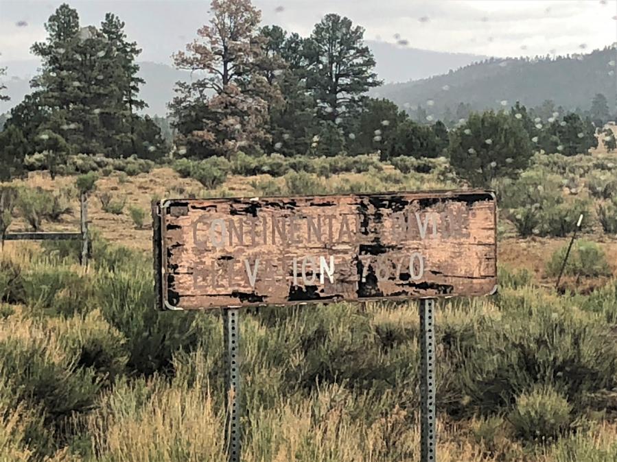
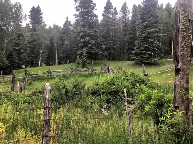
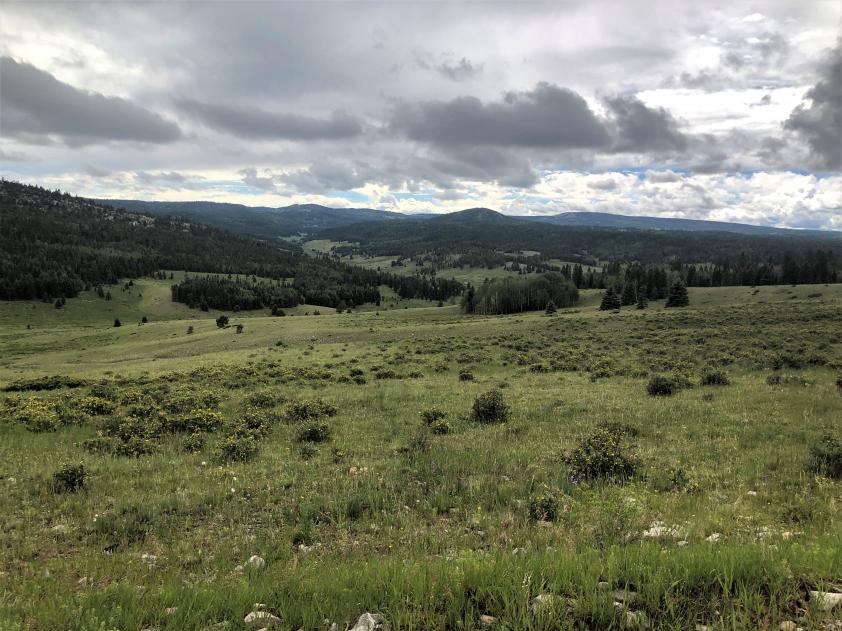
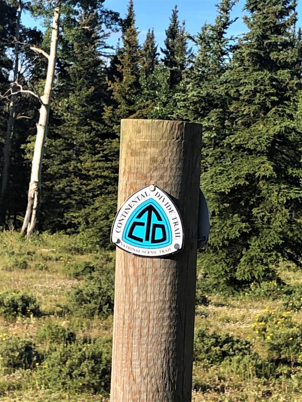
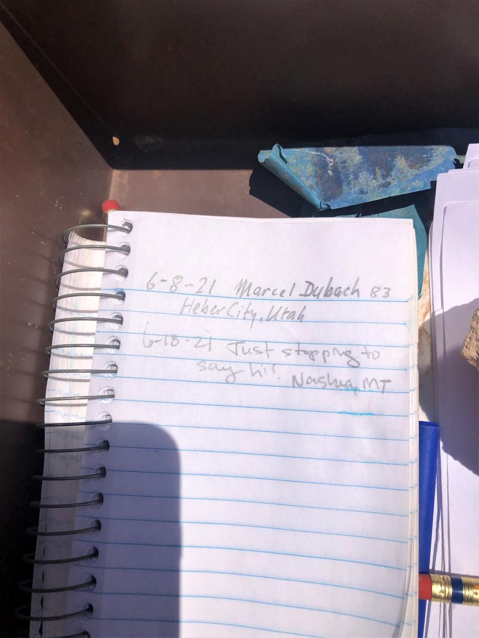
We remaining vehicles continued on and found a campsite on Hopewell Ridge right on the Continental Divide Trail (the hiking trail). Our campsite was spied on by one southbound CDT hiker and one mule deer doe, but neither came in close enough to talk. The other two vehicles got in late and spent the night at the Hopewell Lake campground.


 PigPen
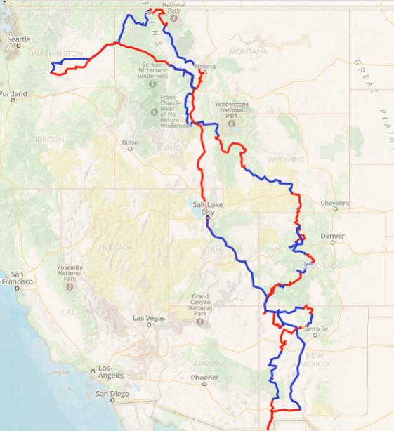


 AWOL
AWOL 2008 GMC 3500 SMB
 Linear Mode