Part 2:
We left Las Vegas on Wed, Oct 30 and headed up I15 thru St George and into Zion NP. We stopped for a break and walked around the visitor center in the lower section of the park.

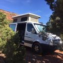
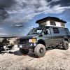
We spotted this nice vintage SMB in the campground. Anybody know it?

We pressed on toward Escalante - our target was to drive down the Hole-in-the-Rock road.
We started running out of daylight around Hatch on Hwy 89. All the public land - Forest Service - was several miles off the hwy up snowy, muddy roads. We stuck to the hwy and ended up an hour or so after dark at Brice Canyon NP.
That was a cold night. 14F. The Suburban furnace saved the day. Next morning we went out and took in the viewpoints before hitting the hwy.

We got to Escalante about noon so we stopped at the Hole-in-the-Rock turnoff for lunch and to air down the tires.
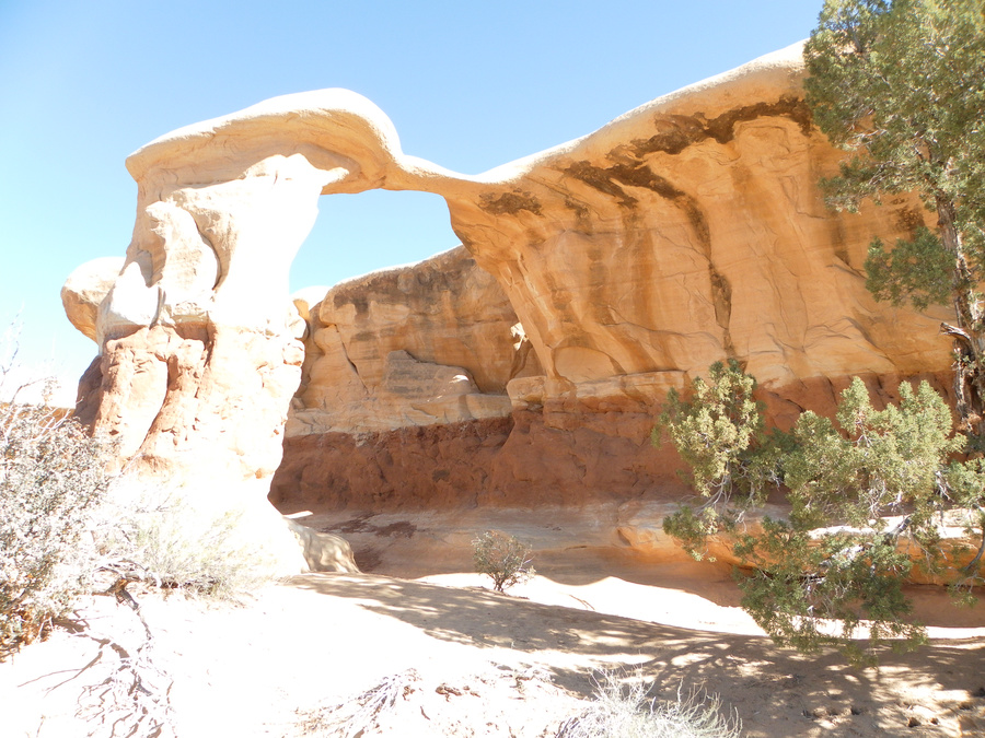
The first scenic point along the road is Devils Garden. (37.585577,-111.414628)

Easy walking and great hoodoos and rock formations.

They've got goblins here that make Goblin Valley look like a cheap road-side attraction.
I call these 3 the TeleTubbies.

Sherri in front of a small arch we walked through.

Yet another arch.
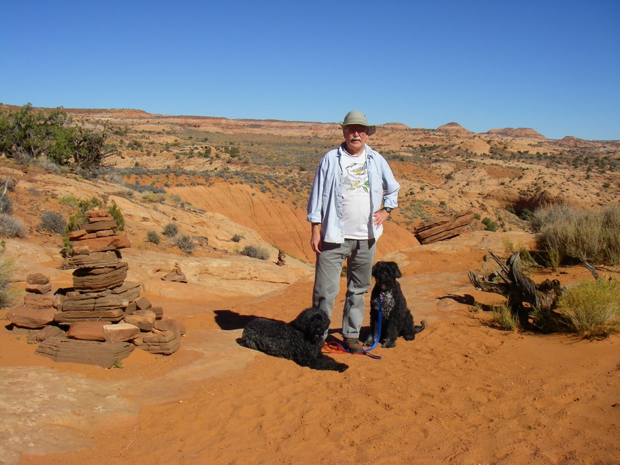
After a short walk we continued down the road to the trail head into Dry Coyote Gulch. It was too late to hike in and there was no camping at the trail head, so we drove about a mile away on a spur and found a turn out with a good view. Sherri wandered off for some bird watching - she didn't know I was watching her. (37.465669,-111.206594)

Entrance to the Dry Coyote Gulch slot canyon. (37.481567,-111.217732)

This is in Spooky Gulch - a side canyon about 1/2 mi downstream. Not for the claustrophobic. For about 60yds, I had to crab sideways with my gut sucked in and the walls pressing me front and back. (37.481363,-111.209064)

Pausing to catch or breath on the way back up to the van.

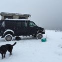
Keeping the dogs hydrated.

The next stop down Hole-in-the-Rock Rd was Dance Hall Rock. The Hole-in-the-Rock expedition camped here for about 6 weeks in Nov, Dec 1879 while they constructed wagon trail out ahead to the Colorado River. (37.356669,-111.101481)

The main amphitheater / dance floor.

Up on the dome of slick rock behind the dance hall we found a huge pot hole. 30' deep with a couple of trees and small pond inside.

That night we camped just off the road at Sooner Rocks. (37.776557,-110.941832)

After a tough day of hiking and travel.

I'll continue with part 3 soon...


 Vanny Devito
 VivaLaVida
 Linear Mode