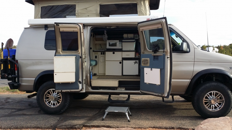
My wife went to Disneyland for a week with her three sisters so I decided to take the SMB and go to the Moab area for a few days of camping and sightseeing. I haven't been to this area since I was a kid (many, many years ago) so I was excited to explore it. I've wanted to take many of the back-country roads in the Moab area for sometime. However, since this was my first trip there I decided first to visit the "touristy" areas that I have not seen. As it turned out, there was so much to see I spent all of my time on paved roads and never did get my SMB dirty on the roads I thought I was going to take.
Since some Forum members may never get out this way I've decided to include a good number of pictures. I put the captions above the pictures to make it easier to read when scrolling down.
My trip actually "began" in Spanish Fork Canyon heading south on Highway 6. This canyon has a lot of family history, all of which is no longer in existence. My grandfather Dallin ran Castilla Hot Springs in this canyon in the early 1900s (see:
http://historytogo.utah.gov/utah_chapte ... itors.html). I remember seeing all of the trains in Thistle, a huge railroad town where helper engines were put on the trains to help the trains get up the Manti-Lasal mountains to Soldier Summit. The town of Thistle was wiped out in a landslide/flood in 1983 (see:
http://en.wikipedia.org/wiki/Thistle,_Utah)
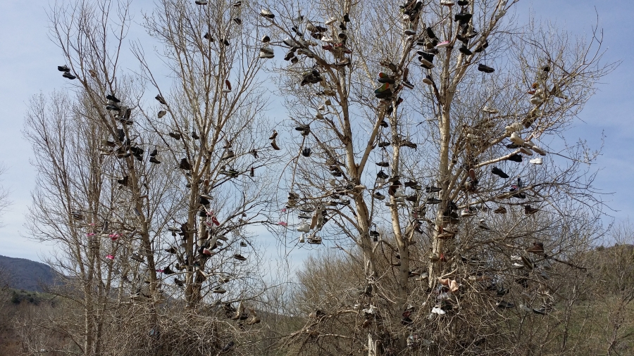
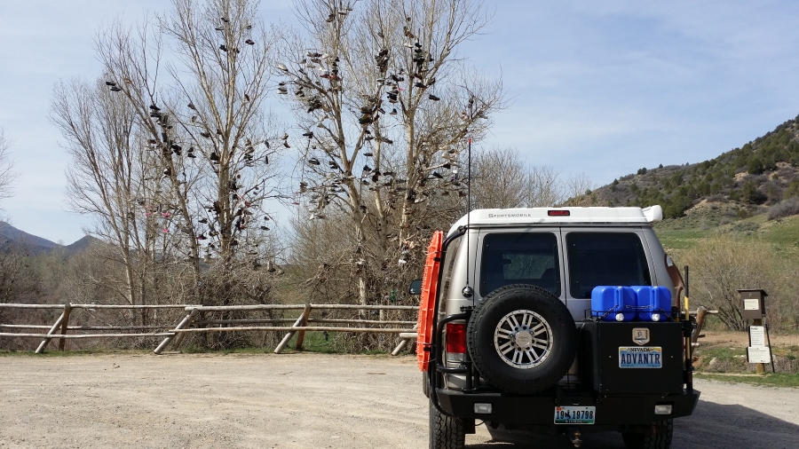
This shoe tree is located where Thistle used to be.
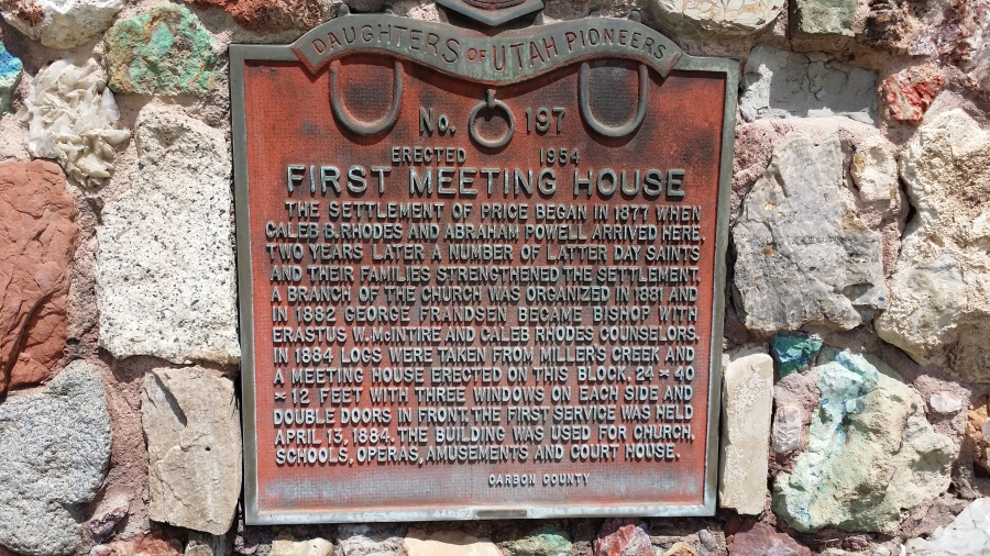
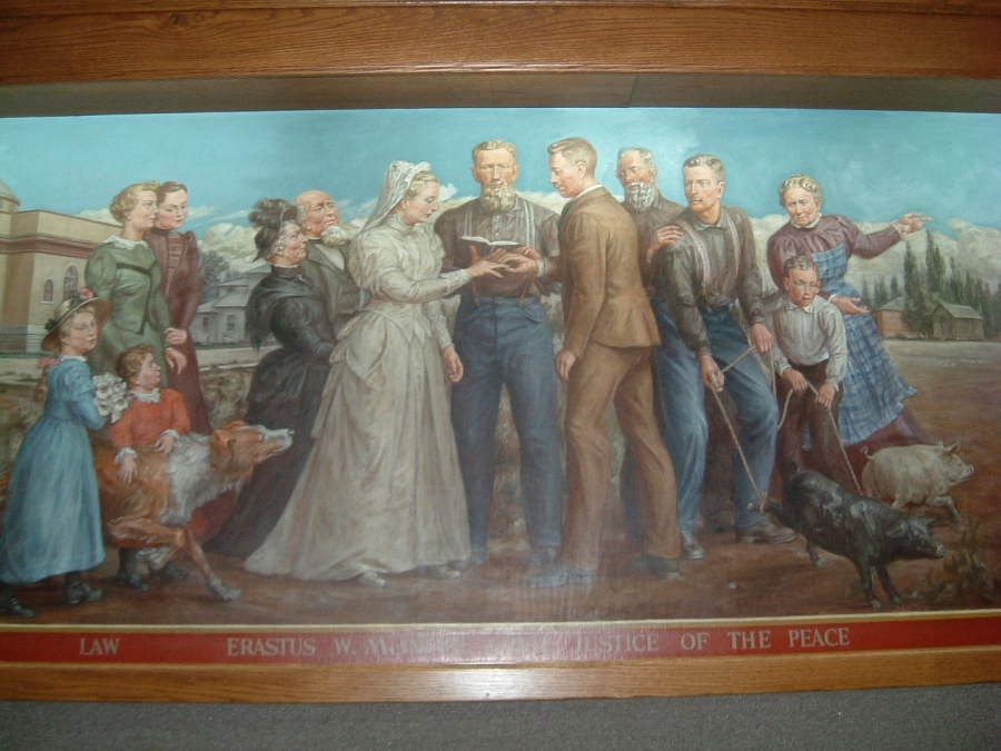
I spent my pre-school years in Price, Utah. My family was one of the original founders of the town. My great, great grandfather was the first Justice of the Peace there. He is mentioned in this plaque and this picture at what was the courthouse.
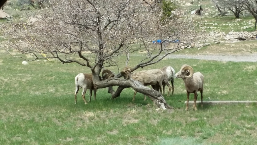
While in the area I took several side trips to see coal mining ghost towns in Spring Canyon near Helper and up Whitmore Canyon near Sunnyside. The sights weren't unique enough to take pictures but I did take one of these big horn sheep at Sunnyside.
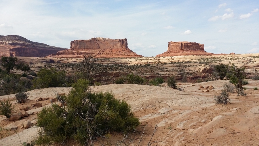
After exploring side roads all the way down from Wyoming to the Moab area I finally headed to Dead Horse Point to camp for the night. This picture is of the rock formations the Monitor and the Merrimac and the road to DHP.
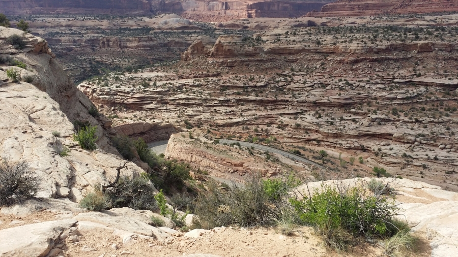
This is the view of the Colorado River and the potash ponds from Dead Horse Point
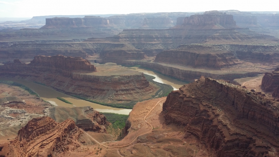
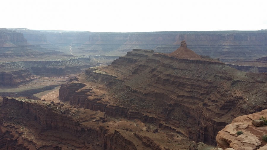
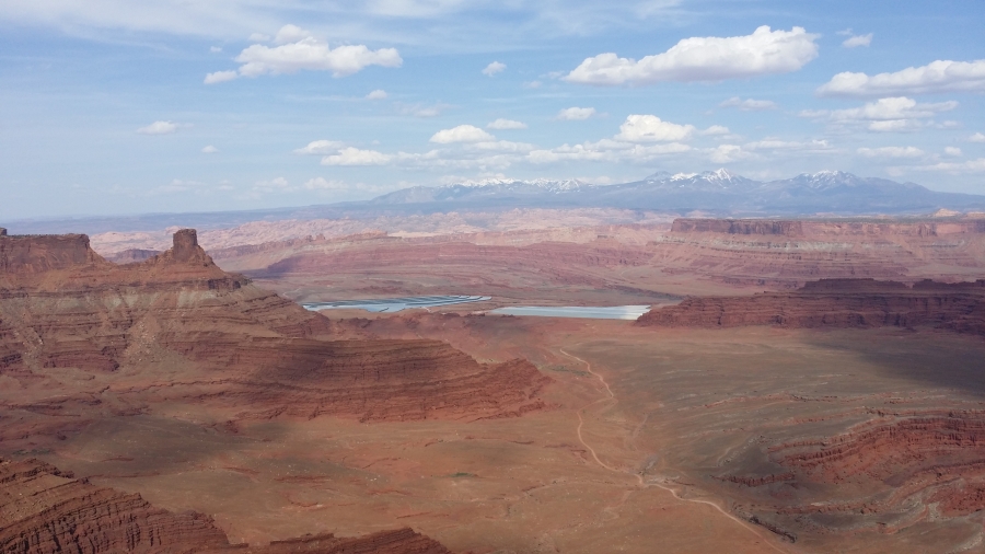
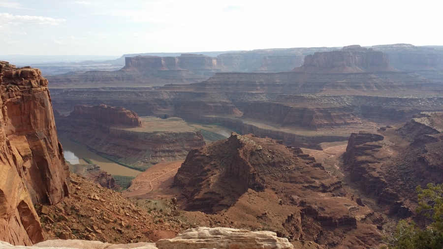
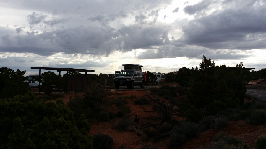
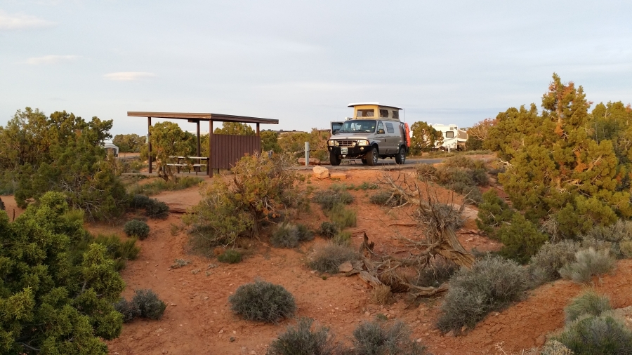
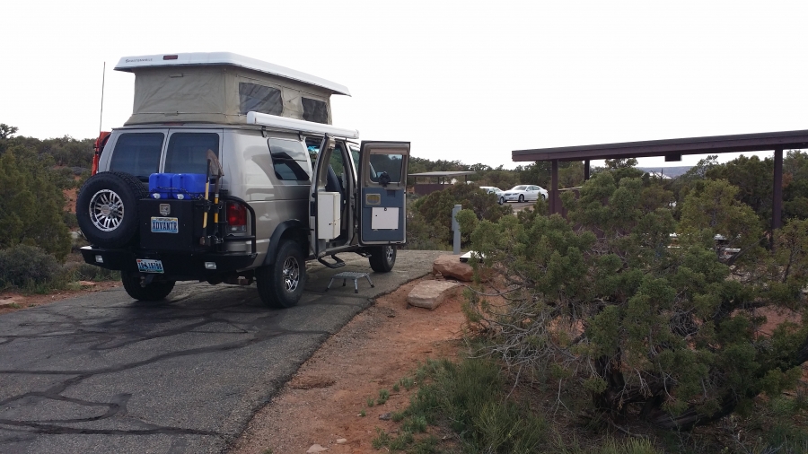
The campground at Dead Horse Point is very nice. It has 21 clean, well-spaced and level camping spots. It has flush toilets and running cold water. No showers. The restrooms were exceptionally clean and spacious. It cost $25 per night and includes electrical hookups in every site. Interestingly most of the people camping there were tent campers. Just a few trailers and no RVs.
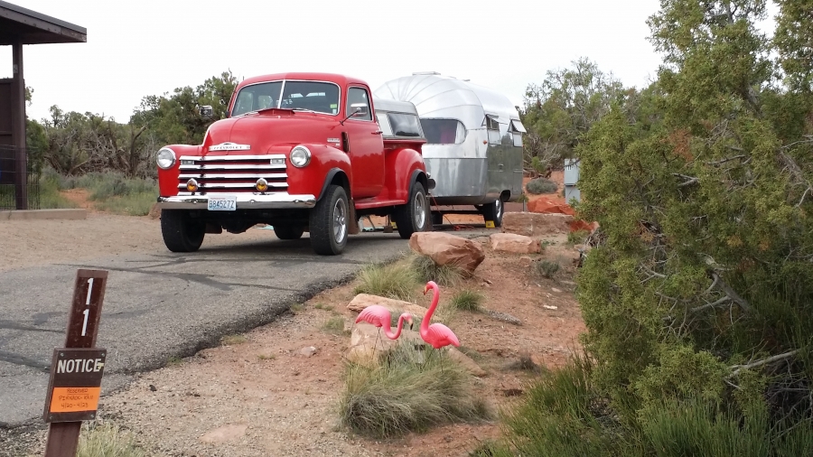
This truck and trailer were in the site next to mine. Both the truck and trailer were built in 1950. So were the lady and man who own it. Quite the combination.
Sunrise at Dead Horse Point on my first morning.
