It does real time tracking; it saves a track that shows on a map and you can backtrack on it for example. Or you can watch the cursor move on the map. AFAIK most every mapping app does that. A track is nothing but an automatic collection of waypoints; how many you get depends on your receiver and it's software, some allow adjusting for finer detail, some have higher refresh rates, etc. Good software will essential cancel out the ones on top of each other.
I tend to just use waypoints, though, since I usually know where I am and it's only certain points where I need the assistance of the GPS, and I'm watching the road

And it saves batteries too, which is important if you're not in your vehicle. Photos help too.
But it may also be that I'm used to more old school navigation, where you navigated to points rather than trying to follow a track. I got used to it sailing, where the surface you're on is moving; not like you're trying to follow a road or trail. And obviously bearings are more important since there often aren't features to point at.


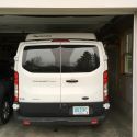
 Adobe Loon (aka the Dawghaus)


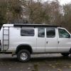
 VivaLaVida

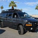
 Sportsmobile (AKA Money Pit)
 Linear Mode