I overlaid maps in google earth and offer them up to share. KMZ or KML, I can't remember which is better to share so here are both.
https://dl.dropboxusercontent.com/u/446 ... V-maps.kml
https://dl.dropboxusercontent.com/u/446 ... V-maps.kmz
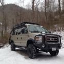
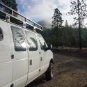
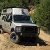
This is just the Northern Sierra. I seem to just go to lakes for kayaking, but then I find places to take the motorcycle while Francesca naps. I don't have a 4x4 Sportsmobile.
Although the web has tons of information I was getting fooled by people who own land next to a dirt road. They tend to turn their private property signs 90 degrees so it looks like the road itself is private property. These maps help me know I am legal.
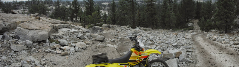
Figuring which roads will support a 4x4 Van is of little help with these maps. I was on one this weekend marked with a solid double line and licensed vehicles only, but the only thing that would do it would be a rock crawler or ATV which is not allowed. I bottomed out the DRZ often and dropped it twice.
Here is the only smooth part:
Anyways these have been of help to me so I offer them up.


 VivaLaVida
 Linear Mode